Übersichtskarte: Unterschied zwischen den Versionen
K |
K |
||
| Zeile 40: | Zeile 40: | ||
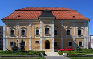
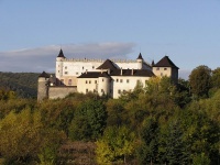
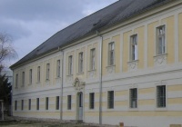
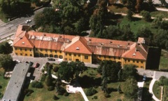
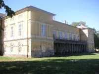
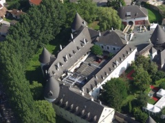
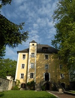
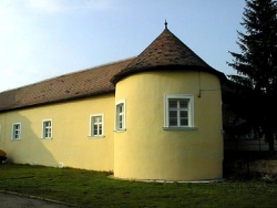
47.799999, 16.299999, [[Bild:Neudörfl.jpg|200px|left|thumb|Kastell Hofleithamühl, Österreich]] | 47.799999, 16.299999, [[Bild:Neudörfl.jpg|200px|left|thumb|Kastell Hofleithamühl, Österreich]] | ||
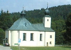
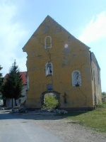
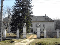
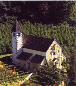
45.362573, 16.287856, [[Bild:Čuntić.jpg|150px|left|thumb|Kirche Sv. Antuna,Čuntić , Kroatien]] | 45.362573, 16.287856, [[Bild:Čuntić.jpg|150px|left|thumb|Kirche Sv. Antuna,Čuntić , Kroatien]] | ||
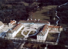
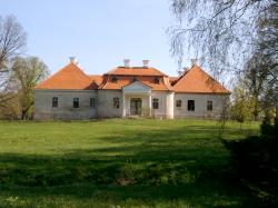
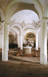
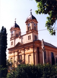
| − | 47.32354, 17.599396, [[Bild: | + | 47.32354, 17.599396, [[Bild:Ugod.jpg|thumb|left|150px|[[Ugod, Ungarn]] |
46.695267, 18.183584, [[Ireg|Iregszemcse]], Ungarn | 46.695267, 18.183584, [[Ireg|Iregszemcse]], Ungarn | ||
47.775445, 19.137708, [[Vác|Dom von Vác, Ungarn]] | 47.775445, 19.137708, [[Vác|Dom von Vác, Ungarn]] | ||
Version vom 10. März 2008, 15:42 Uhr
<googlemap lat="49.095452" lon="16.918945" zoom="5" width="500" height="600" scale="yes">
48.32114, 18.416531,
47.619998, 16.87,
48.2, 17.729999,
48.186461, 17.737856,
48.195892, 17.308582,
51.732132, 7.534003,
49.259536, 11.537308,
47.409999, 18.44,
47.389999, 16.549999,
47.423151, 17.919474,
47.355048, 17.88188,
48.580001, 19.139999,
47.639999, 18.309999,
47.479999, 18.309999,
47.330001, 17.469999,
46.560001, 16.45,
45.630001, 18.7,
46.788895, 17.436161,
48.452365, 13.320236,
46.630562, 18.281919,
48.29931, 13.150839,
48.298662, 10.394676,
48.049999, 18.659999,
48.287534, 17.744465,
48.45, 22.719999,
48.081749, 17.691422,
48.555521, 19.300001,
49.189053, 18.86404,
49.223596, 18.560543,
47.049999, 18.659999,
47.42321, 16.651497,
48.307861, 17.939472,
48.380001, 17.579999,
47.919998, 16.399999, Pottendorf
47.567188, 16.530204,
49.050298, 18.559527,
48.247007, 17.622239,

47.799999, 16.299999,
45.362573, 16.287856,
47.32354, 17.599396, [[Bild:Ugod.jpg|thumb|left|150px|Ugod, Ungarn 46.695267, 18.183584, Iregszemcse, Ungarn 47.775445, 19.137708, Dom von Vác, Ungarn
47.231692, 17.527485,
47.11757, 17.868576,
46.049999, 17.979999,
47.100578, 17.434799,
47.591436, 17.038926,
46.630562, 18.281919,
47.781719, 19.92687,
47.67831, 17.638149,
47.58886, 16.465337,
47.595076, 16.392326,
47.406826, 16.417609,
47.880727, 16.4445,
47.635442, 16.351092,
47.600702, 16.624804,
48.466667, 19.1,
47.680729, 16.58621,
48.422931, 21.274964,
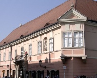
48.565278, 17.993333, Ort Vozokany, Slowakei 47.900001, 20.379999, [[Bild:Eger.jpg|thumb|left|150px|Stadt Eger, Ungarn]]
47.692068, 13.095993,
47.79, 22.889999,
47.25407, 16.556119,
48.220001, 18.6,
46.189998, 18.26,
46.383295, 18.131089,
47.5, 19.909999,
47.560471, 16.335592,
46.071281, 18.233141,
48.662052, 20.52787,
, Slowakei 47.781491, 16.542273,
46.66462, 11.187966,
46.669492, 11.175957,
48.148376, 17.10731, Stadt Bratislava, Slowakei
47.770945, 13.060899,
47.710156, 18.015691,
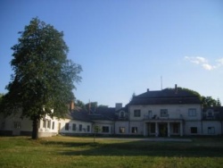
47.698495, 18.262854,
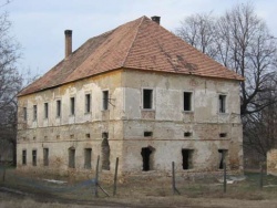
</googlemap>


